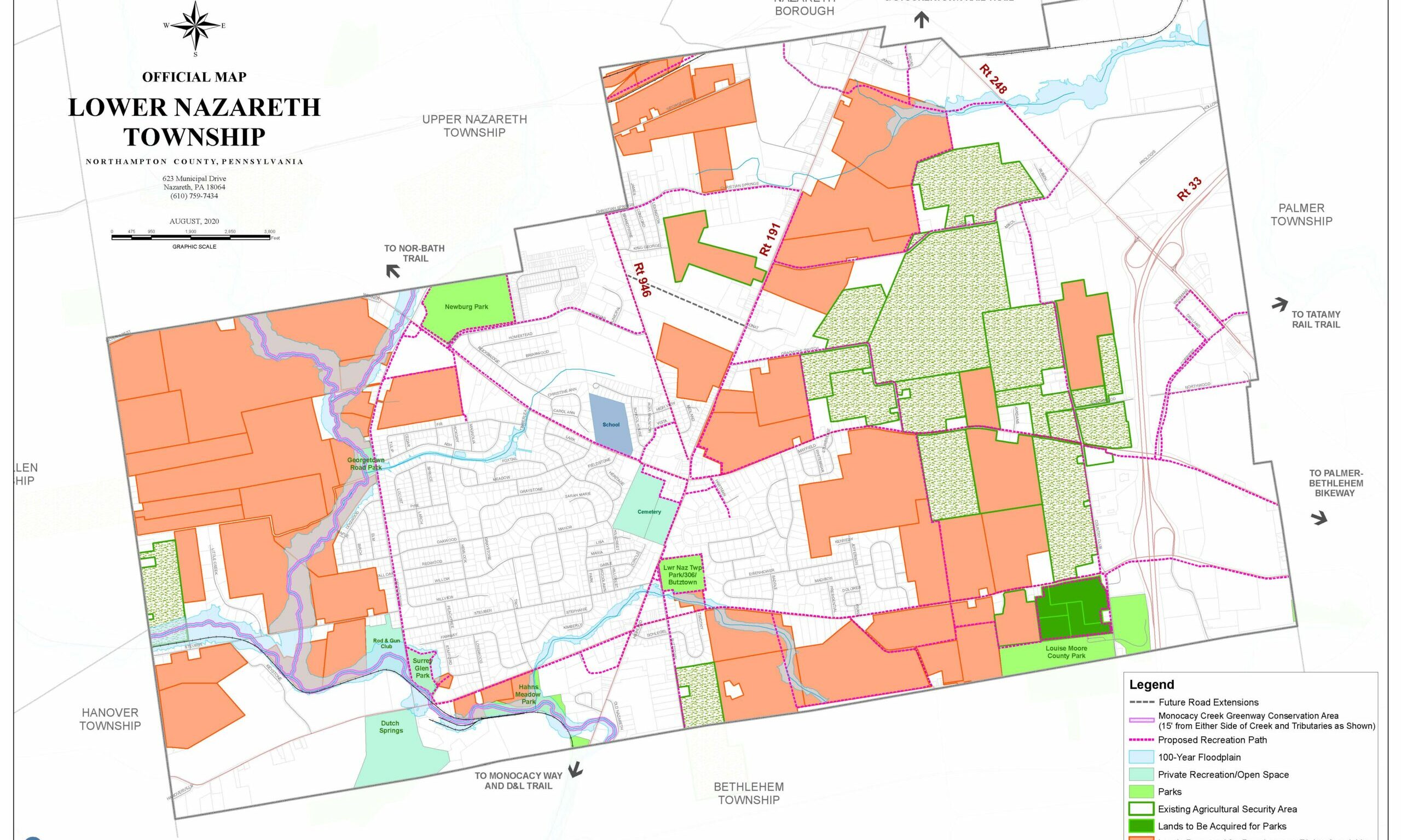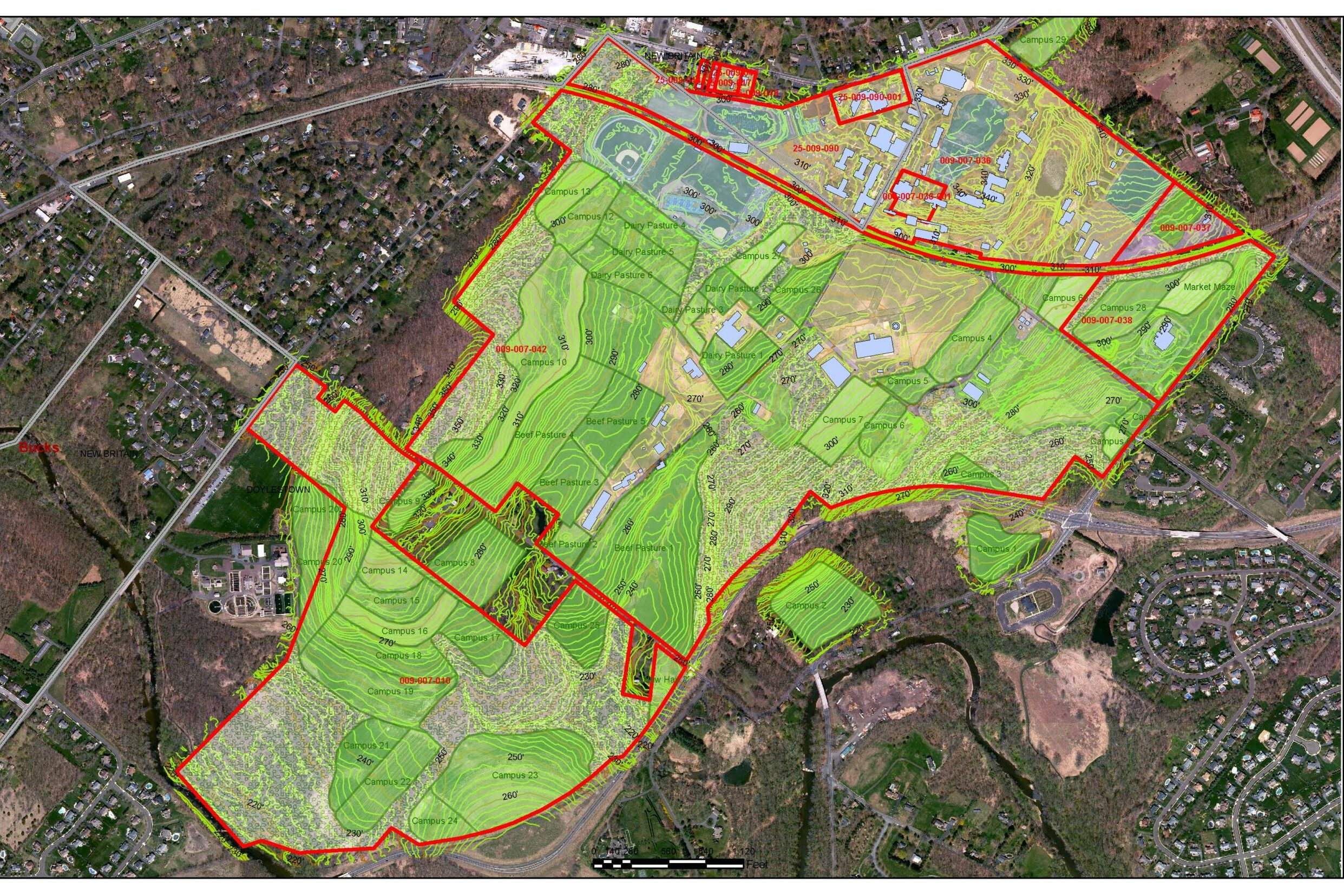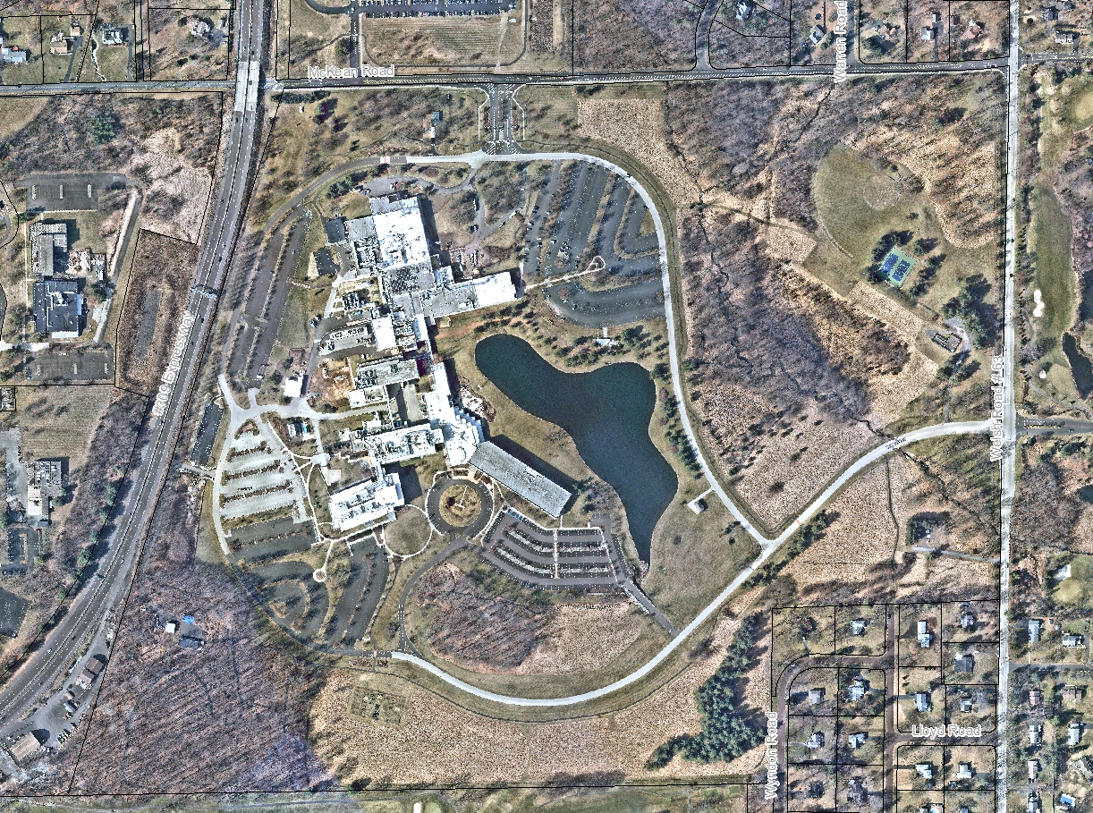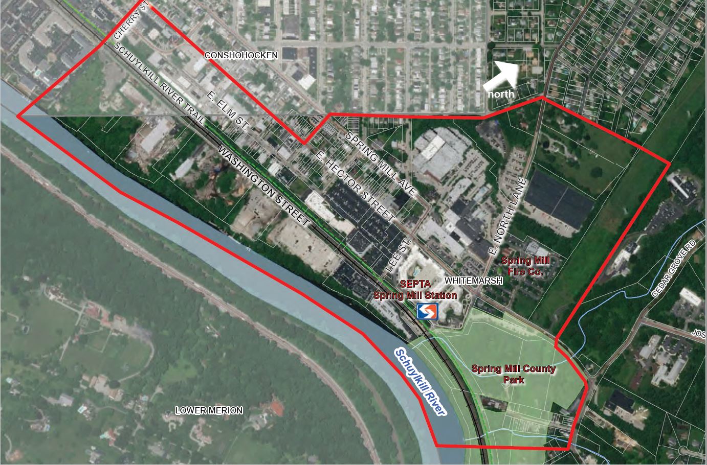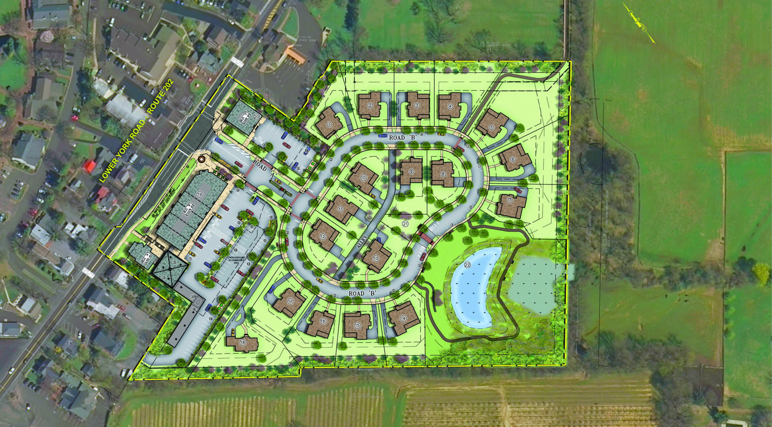
G&A uses powerful and versatile technology, allowing our clients to better manage their resources and strategically plan for future infrastructure improvements.
Our GIS services demonstrate real value to our clients by providing easy access to vital information. Clients can use a GIS database to inventory water distribution lines by location, size, flow rate, and pressure or inventory manholes by elevation and maintenance history. Individual tax parcels can reference zoning data or building permit history and compliance. Municipal population data can be analyzed to assist with demographic projections.
Since 1993, we have provided our clients with customized, easy-to-use GIS solutions that help interpret database-driven mapping and geographic based record keeping. This technology is so powerful we use it in-house to support our own civil engineering, land design, water resource, land surveying, and governmental services.