Over the past 100 years G&A has grown from a two person land surveying company to a multi-disciplined professional consulting services firm all while maintaining a land surveying base.
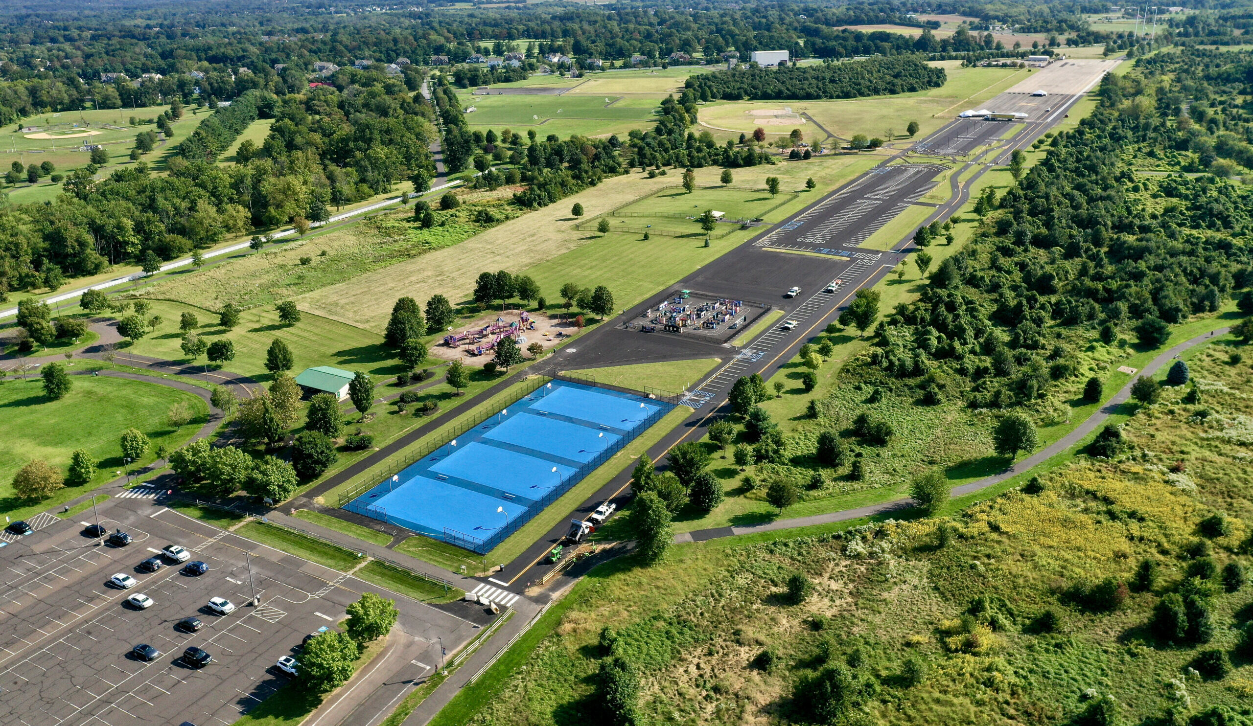
Land surveying may be a stand-alone service or, as is generally the case, one of the first steps for our professional consulting design services. This is usually accomplished by preparing base plans that may include the property boundaries, elevation contour lines, topographic and physical features and utilities. This provides our design professionals and client a base to work with for their specific design requirements.