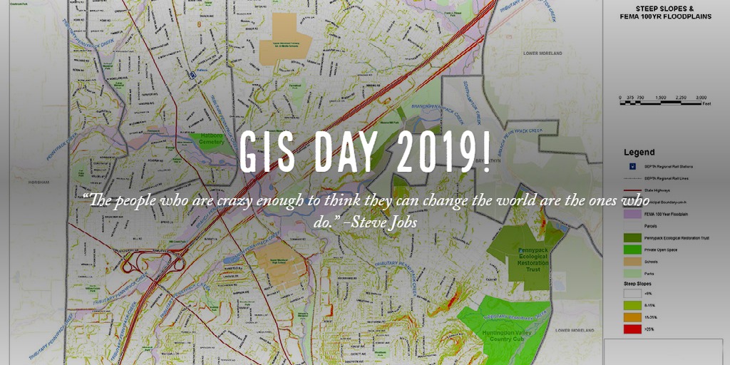
GIS Day 2019! Our duty as GIS professionals is to use mapping to present, analyze and visualize data collected and portray it in the most logical and informative way. Whether it is showing a map of a flood, before and after, to help planners develop new stormwater control or showing the location of migratory bird destinations and how global warming has affected it, GIS paints the picture.


