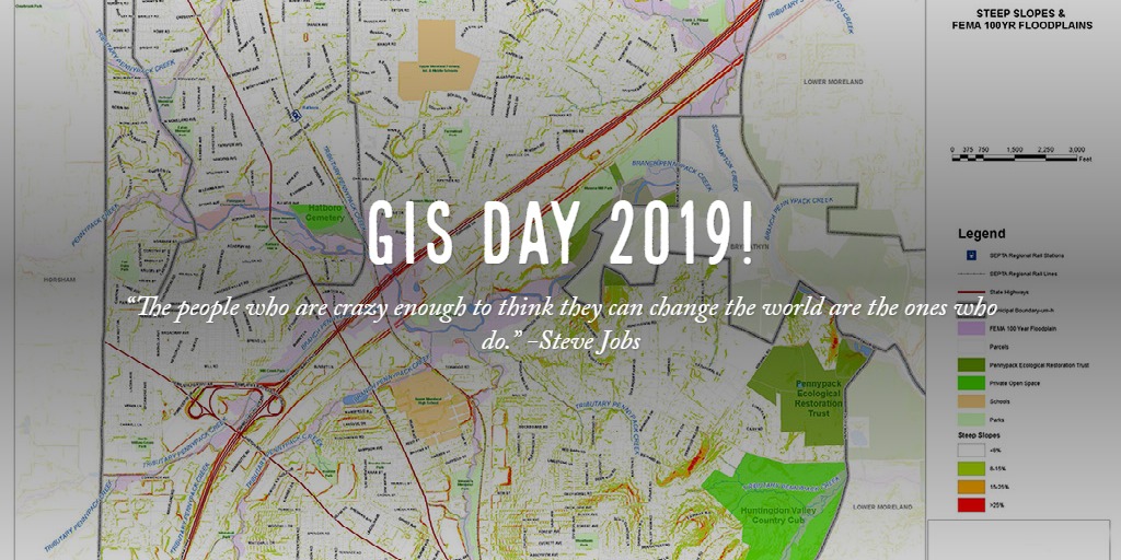
Phase II GIS Program, Schuylkill Township, Chester County, PA
Gilmore & Associates GIS professionals are at the

cutting edge of this powerful and versatile technology that gives municipalities, utility providers, academic institutions, healthcare systems and other large companies the ability to better track and manage their resources, as well as strategically plan for future infrastructure improvements.
Our GIS services demonstrate real value to our clients by providing easy access to vital information. Municipal clients can use a GIS database to inventory water distribution lines by location, size, flow rate and pressure, or inventory sanitary manholes by elevation and maintenance history. Individual tax parcels can reference zoning data or building permit history and compliance. Municipal population data can be analyzed to assist with demographic projections.
For over a decade, Gilmore & Associates has been providing our clients with customized, easy-to-use GIS solutions that help them interpret database-driven mapping and graphic-based record-keeping. The application of GIS technology is so versatile that the powerful benefits are utilized in-house to support our own civil engineering and land design, water resources, land surveying and municipal services.
To learn more, view our representative projects or contact us today
Gilmore & Associates, Inc. is committed to a professional practice that embraces green infrastructure which includes designs that utilize or emulate natural systems to provide the essential services demanded by civilization while protecting or enhancing environmental quality.
...continue